
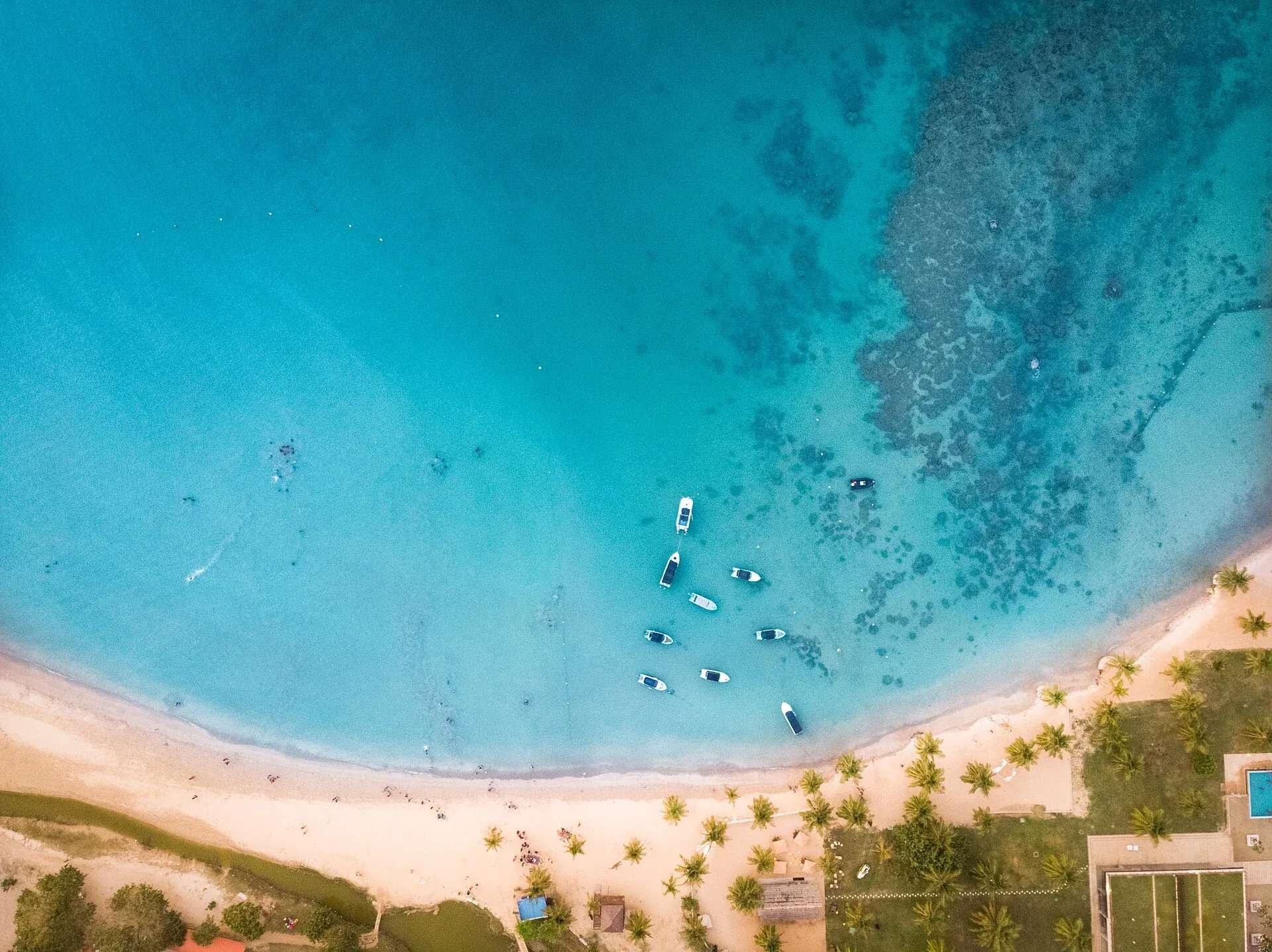
Let the bay be the day's main event, with water activities chosen for current conditions.
Sri LankaEast coast
An island, place by place
Pasikudah.
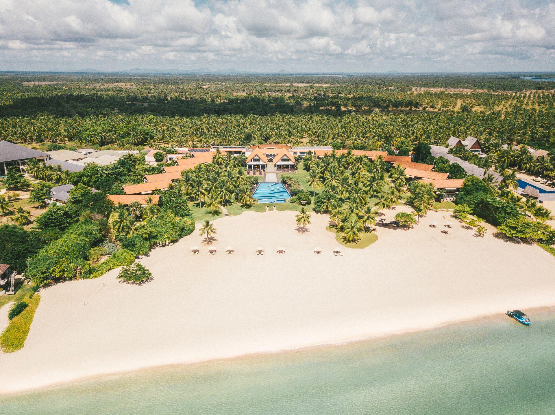
A beach-first base on Sri Lanka's east coast, with shallow-water appeal and room to pause.
Explore the guide7.93° N · 81.56° EPhoto: Rovin Shanila · CC BY-SA 4.0 · resized for web (links open in new tabs)
The point of this place
Why go to Pasikudah?
Pasikudah makes sense when the east coast fits your season and you want the resort stay itself to carry the trip. It can also be paired with Cultural Triangle sites by road.
Sri Lanka Tourism places Pasikudah on the east coast north of Batticaloa. Its role in an itinerary changes with the monsoon: when the southwest is wetter, this side of the island can offer a more suitable beach interval. Polonnaruwa creates a possible heritage pairing, but the road journey deserves its own time.
01
Give the bay a full day rather than treating it as a transit stop.
02
Check local sea conditions before water activities.
03
Pair the coast with Polonnaruwa or Sigiriya on a longer itinerary.
Make time for the place
A possible rhythm.
Use this as a starting point and adjust for weather, local access and how you like to travel.
If you want ancient-city sightseeing, give Polonnaruwa its own time rather than squeezing it into a beach afternoon.
Before you set off
The useful details.
01 / When to go
The east coast is generally favoured from May to September; the northeast monsoon brings wetter conditions around December to February.
02 / Getting there
Road transfers connect Pasikudah with Batticaloa and the Cultural Triangle; verify current travel time.
03 / Find your bearings
Pasikudah sits in Sri Lanka's east coast region. Use this map to place it in your wider route.
7.93° N · 81.56° E
Imagery © Mapbox · © OpenStreetMap
Stay with intention
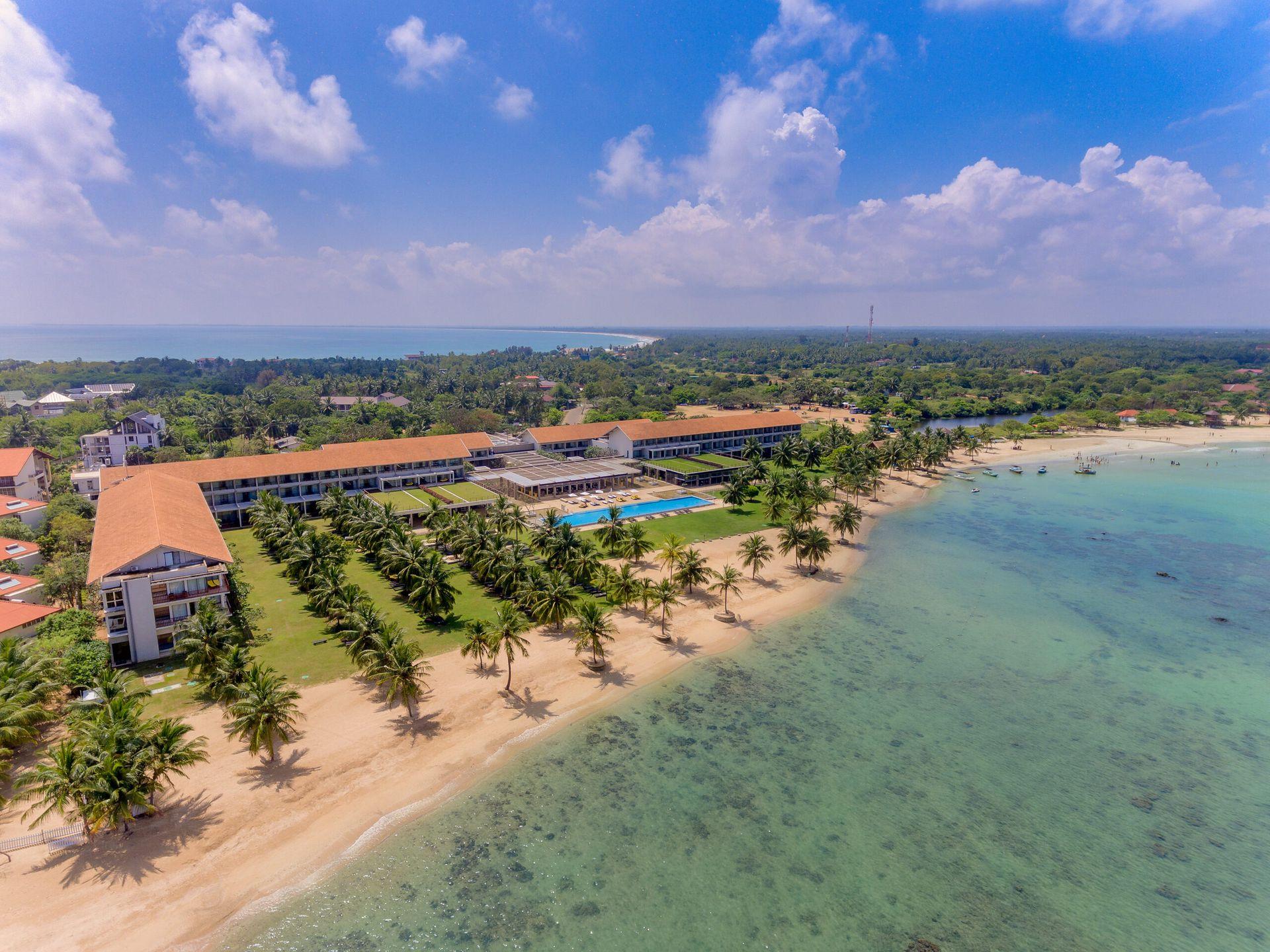
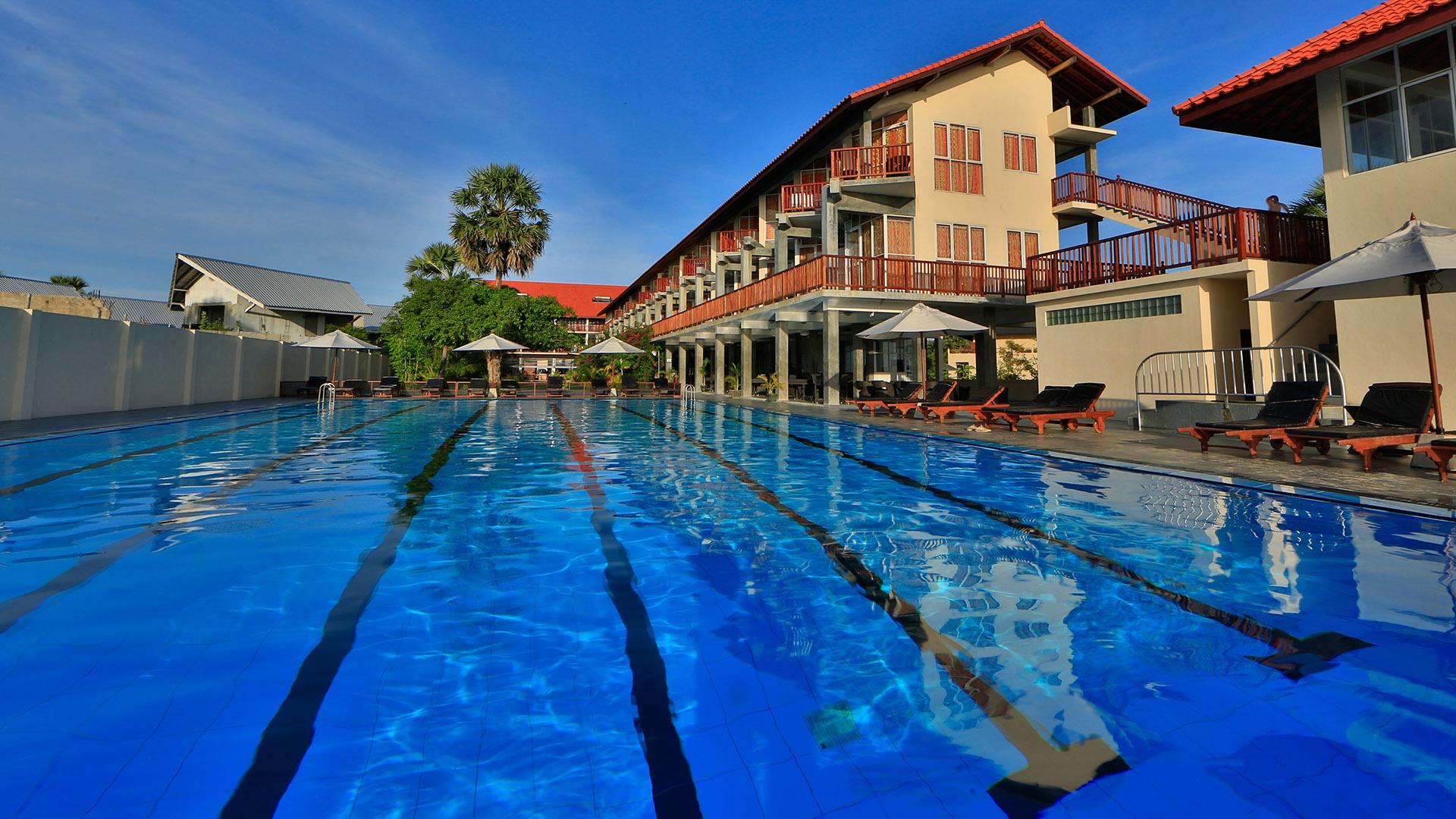
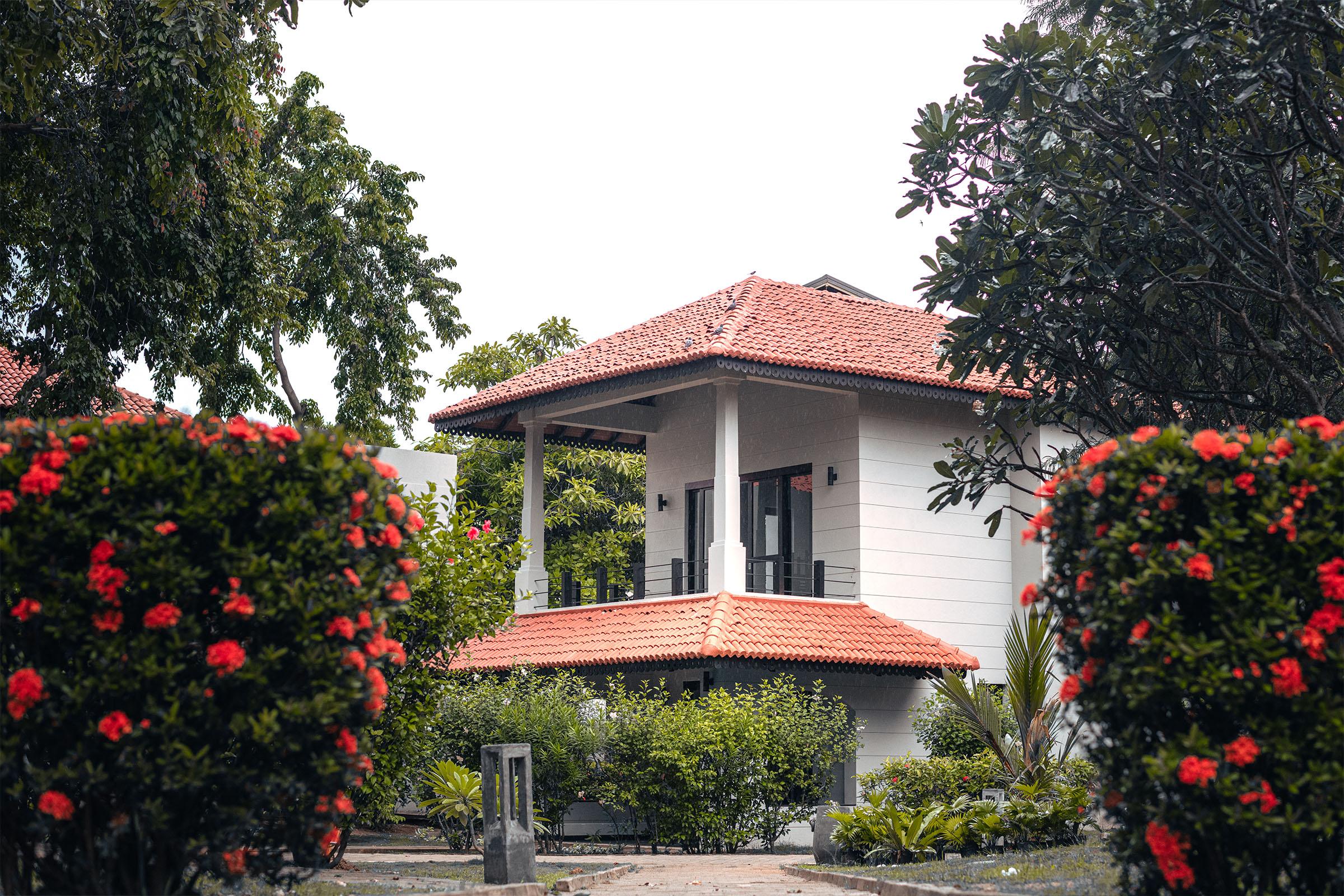
Stays in Pasikudah.







Keep the journey moving
Where could you go next?
All Sri Lanka placesPlan the wider journey
Pasikudah in a Sri Lanka itinerary
Compare 5, 7, 10 and 14-day routes before deciding how much time to leave between stops.
Choose your east coast season
Compare the coast calendars before matching a beach stay to your dates.
Compare Sri Lanka beach bases
Decide whether the town, shoreline or resort setting should anchor your coast stay.
Planning sources
This guide uses destination and heritage information from the sources below. Seasons, transport, site access and sea conditions change; confirm them before travel.